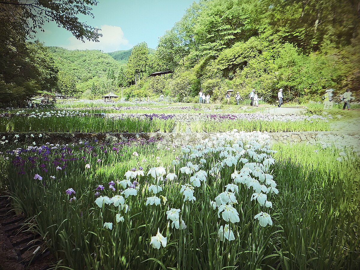
Sign In

My Timeline

GuRoute

Discover Your World

Share your Experiences

Record your Life


Japan

Tokyo

Tokyo is one of the 47 prefectures of Japan, and is both the capital and largest city of Japan. The Greater Tokyo Area is the most populous metropolitan area in the world. It is the seat of the Emperor of Japan and the Japanese government. Tokyo is in the Kantō region on the southeastern side of the main island Honshu and includes the Izu Islands and Ogasawara Islands. Formerly known as Edo, it has been the de facto seat of government since 1603 when Shogun Tokugawa Ieyasu made the city his headquarters. It officially became the capital after Emperor Meiji moved his seat to the city from the old capital of Kyoto in 1868; at that time Edo was renamed Tokyo. Tokyo Metropolis was formed in 1943 from the merger of the former Tokyo Prefecture and the city of Tokyo . Tokyo is often referred to and thought of as a city, but is officially known and governed as a "metropolitan prefecture", which differs from and combines elements of both a city and a prefecture; a characteristic unique to Tokyo. The Tokyo metropolitan government administers the 23 Special Wards of Tokyowhich cover the area that was formerly the City of Tokyo before it merged and became the subsequent metropolitan prefecture in 1943. The metropolitan government also administers 39 municipalities in the western part of the prefecture and the two outlying island chains. The population of the special wards is over 9 million people, with the total population of the prefecture exceeding 13 million. The prefecture is part of the worlds most populous metropolitan area with upwards of 37.8 million people and the worlds largest urban agglomeration economy. The city hosts 51 of the Fortune Global 500 companies, the highest number of any city in the world. Tokyo ranked third in the International Financial Centres Development IndexEdit. The city is also home to various television networks like Fuji TV, Tokyo MX, TV Tokyo, TV Asahi, Nippon Television and the Tokyo Broadcasting System. Tokyo ranked third in the Global Economic Power Index and fourth in the Global Cities Index. The city is considered an alpha+ world city—as listed by the GaWCs 2008 inventory—and in 2014, Tokyo was ranked first in the "Best overall experience" category of TripAdvisors World City Survey . In 2013, Tokyo was named the third most expensive city for expatriates, according to the Mercer consulting firm, and the worlds most expensive city, according to the Economist Intelligence Units cost-of-living survey. In 2015 Tokyo was named the Most Liveable City in the world by the magazine Monocle. The Michelin Guide has awarded Tokyo by far the most Michelin stars of any city in the world. Tokyo ranked first in the world in the Safe Cities Index. Tokyo hosted the 1964 Summer Olympics, the 1979 G-7 summit, the 1986 G-7 summit, and the 1993 G-7 summit. Tokyo will host the 2020 Summer Olympics and the 2020 Summer Paralympics.

Kyoto Prefecture

Kyoto Prefecture is located almost in the center of Honshu and of Japan. It covers an area of 4,612.71 square kilometres , which is 1.2% of Japan. Kyoto is 31st by size. To the north, it faces the Sea of Japan and Fukui Prefecture. To the south, it faces Osaka and Nara Prefectures. To the east, it faces Mie and Shiga Prefectures. To the west, it faces Hyōgo Prefecture. The prefecture is separated in the middle by the Tanba Mountains. This makes its climate very different in the north and south. As of 1 April 2012, 6% of the total land area of the prefecture was designated as Natural Parks, namely Sanin Kaigan National Park; Biwako, Tango-Amanohashidate-Ōeyama and Wakasa Wan Quasi-National Parks; and Hozukyō, Kasagiyama, and Rurikei Prefectural Natural Parks. For most of its history, the city of Kyoto was the Imperial capital of Japan. The history of the city itself can be traced back as far as the 6th century. In 544, the Aoi Matsuri was held in Kyoto to pray for good harvest and good weather. Kyoto did not start out as the capital of Japan. A noteworthy earlier capital was Nara. In 741, Emperor Shōmu moved the capital briefly to a place called Kuni-kyo, between the cities of Nara and Kyoto, in present-day Kyoto Prefecture. In 784, the capital was moved to Nagaokakyō, also in present-day Kyoto Prefecture. In 794, Emperor Kammu moved the capital to Heian-kyo, and this was the beginning of the current-day city of Kyoto. Even today, almost all of the streets, houses, stores, temples and shrines in the city of Kyoto exist where they were placed in this year. Although in 1192 real political power shifted to Kamakura, where a samurai clan established the shogunate, Kyoto still remained the imperial capital as the powerless emperors and their court continued to be seated in the city. Imperial rule was briefly restored in 1333, but another samurai clan established a new shogunate in Kyoto three years later. In 1467, a great civil war, the Ōnin no Ran, took place inside Kyoto, and most of the town was burned down. Japan plunged into the age of warring feudal lords. A new strong man, Tokugawa Ieyasu, established the shogunate at Edo in 1603. In the 15th century AD, tea-jars were brought by the shoguns to Uji in Kyoto from the Philippines which was used in the Japanese tea ceremony. The Meiji Restoration returned Japan to imperial rule in 1868. Emperor Meiji, who was now the absolute sovereign, went to stay in Tokyo during the next year. The imperial court has not returned to Kyoto since then. During the instigation of Fuhanken Sanchisei in 1868, the prefecture received its suffix fu. The subsequent reorganization of the old provincial system merged the former Tango Province, Yamashiro Province and the eastern part of Tanba Province into today's Kyoto Prefecture. Although many Japanese major cities were heavily bombed by U.S. bombers during World War II, the old capital escaped such devastating bombing. During the occupation, the U.S. Sixth Army was headquartered in Kyoto.

Shizuoka Prefecture

Shizuoka Prefecture is a prefecture of Japan located in the Chūbu region of Honshu. The capital is the city of Shizuoka. Shizuoka Prefecture was formed from the former Tōtōmi, Suruga and Izu provinces. The area was the home of the first Tokugawa Shogun. Tokugawa Ieyasu held the region until he conquered the lands of the Hōjō clan in the Kantō region and placed land under the stewardship of Oda Nobunaga. After becoming shogun, Tokugawa took the land back for his family and put the area around modern-day Shizuoka city under the direct supervision of the shogunate. With the creation of Shizuoka han in 1868, it once again became the residence of the Tokugawa family. Shizuoka Prefecture is an elongated region following the coast of the Pacific Ocean at the Suruga Bay. In the west, the prefecture extends deep into the Japan Alps. In the east, it becomes a narrower coast bounded in the north by Mount Fuji, until it comes to the Izu Peninsula, a popular resort area pointing south into the Pacific. As of 1 April 2012, 11% of the total land area of the prefecture was designated as Natural Parks, namely the Fuji-Hakone-Izu and Minami Alps National Parks; Tenryū-Okumikawa Quasi-National Park; and four Prefectural Natural Parks. Throughout history, a disastrous earthquake called the Tokai earthquake has hit Shizuoka every 100 to 150 years. On Tuesday, March 15, 2011, Shizuoka Prefecture was hit with a magnitude 6.2 earthquake approximately 42 km NNE of Shizuoka City.

Nara Prefecture

Nara Prefecture region is considered one of the oldest regions in Japan spanning thousands of years. The present-day Nara Prefecture as it exists now officially was created in 1887, making it independent of Osaka Prefecture. Historically, Nara Prefecture was also known as Yamato-no-kuni or Yamato Province. It is certain that there was a political force established at the foot of Mount Miwa in the east of Nara Basin, seeking unification of most parts in Japan from the third century until the fourth century, though the process was not well documented. At the dawn of history, Yamato was clearly the political center of Japan. Ancient capitals of Japan were built on the land of Nara, namely Asuka-kyō, Fujiwara-kyō and Heijō-kyō . The capital cities of Fujiwara and Heijō are believed to have been modeled after Chinese capitals at the time, incorporating grid layout patterns. The royal court also established relations with Sui and then Tang Dynasty China and sent students to the Middle Kingdom to learn high civilization. By 7th century, Nara accepted the many immigrants including refugees of Baekje who had escaped from war disturbances of the southern part of the Korean peninsula. The first high civilization with royal patronage of Buddhism flourished in today's Nara city . In 784, Emperor Kammu decided to relocate the capital to Nagaoka-kyō in Yamashiro Province, followed by another move in 794 to Heian-kyō, marking the start of the Heian period. The temples in Nara remained powerful beyond the move of political capital, thus giving Nara a synonym of "Nanto" (meaning "South Capital") as opposed to Heian-kyō, situated in the north. Close to the end of Heian period, Taira no Shigehira, a son of Taira no Kiyomori, was ordered by his father to depress the power of various parties, mainly Kōfuku-ji and Tōdai-ji, who were backing up an opposition group headed by Prince Mochihito. The movement led to a collision between the Taira and the Nara temples in 1180. This clash eventually led to Kōfuku-ji and Tōdai-ji being set on fire, resulting in vast destruction of architectural heritage. At the rise of the Minamoto to its ruling seat and the opening of Kamakura Shogunate, Nara enjoyed the support of Minamoto no Yoritomo toward restoration. Kōfuku-ji, being the "home temple" to the Fujiwara since its foundation, not only regained the power it had before but became a de facto regional chief of Yamato Province. With the reconstruction of Kōfuku-ji and Tōdai-ji, a town was growing again near the two temples. The Nanboku-chō period, starting in 1336, brought more instability to Nara. As Emperor Go-Daigo chose Yoshino as his base, a power struggle arose in Kōfuku-ji with a group supporting the South and another siding the North court. Likewise, local clans were split into two. Kōfuku-ji recovered its control over the province for a short time at the surrender of the South Court in 1392, while the internal power game of the temple itself opened a way for the local samurai clans to spring up and fight with each other, gradually acquiring their own territories, thus diminishing the influence of Kōfuku-ji overall. Later the whole province of Yamato got drawn into the confusion of the Sengoku period. Tōdai-ji was once again set on fire in 1567, when Matsunaga Hisahide, who was later appointed by Oda Nobunaga to the lord of Yamato Province, fought for supremacy against his former master Miyoshi family. Followed by short appointments of Tsutsui Junkei and Toyotomi Hidenaga by Toyotomi Hideyoshi to the lord, the Tokugawa Shogunate ultimately ruled the city of Nara directly, and most parts of Yamato province with a few feudal lords allocated at Kōriyama, Takatori and other places. With industry and commerce developing in the 18th century, the economy of the province was incorporated into prosperous Osaka, the commercial capital of Japan at the time. Nara Prefecture is part of the Kansai, or Kinki, region of Japan, and is located in the middle of the Kii Peninsula on the western half of Honshu. Nara Prefecture is landlocked. It is bordered to the west by Wakayama Prefecture and Osaka Prefecture; on the north by Kyoto Prefecture and on the east by Mie Prefecture. Nara Prefecture is 78.5 km from East to West and 103.6 km from North to South. Most of the prefecture is covered by mountains and forests, leaving an inhabitable area of only 851 km². The ratio of inhabitable area to total area is 23%, ranked 43rd among the 47 prefectures in Japan. Nara Prefecture is bisected by the Japan Median Tectonic Line (MTL) running through its territory East to West, along the Yoshino River. On the northern side of the MTL is the so-called Inner Zone, where active faults running North to South are still shaping the landscape. The Ikoma Mountains in the Northwest form the border with Osaka Prefecture. The Nara Basin, which lies to the East of these mountains, contains the highest concentration of population in Nara Prefecture. Further East are the Kasagi Mountains, which separate the Basin from the Yamato Highlands. South of the MTL is the Outer Zone, comprising the Kii Mountains, which occupy about 60% of the land area of the prefecture. The Ōmine Range is in the center of the Kii Mountains, running North to South, with steep valleys on both sides. The tallest mountain in Nara Prefecture, and indeed in the Kansai region, is Mount Hakkyō. To the West, separating Nara Prefecture from Wakayama Prefecture, is the Obako Range, with peaks around 1,300 metres. To the East, bordering Mie Prefecture, is the Daikō Range, including Mount Ōdaigahara. This mountainous region is also home to a World Heritage Site, the Sacred Sites and Pilgrimage Routes in the Kii Mountain Range". About 17% of the total land area of the prefecture is designated as National Park land, comprising the Yoshino-Kumano National Park, Kongō-Ikoma-Kisen, Kōya-Ryūjin, Murō-Akame-Aoyama, and Yamato-Aogaki Quasi-National Parks; and the Tsukigase-Kōnoyama, Yata, and Yoshinogawa-Tsuboro Prefectural Natural Parks. In the Nara Basin the climate has inland characteristics, as represented in the bigger temperature variance within the same day, and the difference of summer and winter temperatures. Winter temperatures average about 3 to 5 °C, and 25 – 28 °C in the summer with highest reaching close to 35 °C. There is not a single year over the last decade (since 1990, up to 2007) with more than 10 days of snowfall recorded by Nara Local Meteorological Observatory. The climate in the rest of the prefecture are mountainous, and especially in the south, with below −5 °C being the extreme minimum in winter. Heavy rainfall is observed in summer. The annual accumulated rainfall ranges as much as 3000 to 5000 mm, which is among the heaviest in Japan. Spring and fall are both temperate and beautiful. The mountainous region of Yoshino has been popular both historically and presently for its beautiful cherry blossoms in the spring. In the fall, the southern mountains are equally beautiful with the changing of the oak trees.

Gifu Prefecture

Gifu Prefecture is a prefecture in the Chūbu region of central Japan. Its capital is the city of Gifu. Located in the center of Japan, it has long played an important part as the crossroads of Japan, connecting the east to the west through such routes as the Nakasendō. During the Sengoku period, many people referred to Gifu by saying, "control Gifu and you control Japan." The land area that makes up modern-day Gifu became part of the Yamato Court around the middle of the fourth century. Because it is in the middle of the island of Honshū, it has been the site of many decisive battles throughout Japan's history, the oldest major one being the Jinshin War in 672, which led to the establishment of Emperor Temmu as the 40th emperor of Japan. The area of Gifu Prefecture consists of the old provinces of Hida and Mino, as well as smaller parts of Echizen and Shinano. The name of the prefecture derives from its capital city, Gifu, which was named by Oda Nobunaga during his campaign to unify all of Japan in 1567. The first character used comes from Qishan , a legendary mountain from which most of China was unified, whereas the second character comes from Qufu , the birthplace of Confucius. Nobunaga chose those characters because he wanted to unify all of Japan and he wanted to be viewed as a great mind. Historically, the prefecture served as the center of swordmaking in all of Japan, with Seki being known for making the best swords in Japan. More recently, its strengths have been in fashion (primarily in the city of Gifu) and aerospace engineering (Kakamigahara). On October 28, 1891, the present-day city of Motosu was the epicenter for the Mino–Owari earthquake, the second largest earthquake to ever hit Japan. The earthquake, estimated at 8.0 (surface wave magnitude), left a fault scarp that can still be seen today. One of the few landlocked prefectures in Japan, Gifu shares borders with seven other prefectures: Aichi, Fukui, Ishikawa, Mie, Nagano, Shiga and Toyama. Japan's postal codes all start with a three-digit number, ranging from 001 to 999. Part of Gifu has the 500 prefix, reflecting its location in the center of Japan. The center of Japanese population is currently located in Seki City, Gifu Prefecture. The center of population is a hypothetical point at which a country is perfectly balanced assuming each person has a uniform weight. The spot was calculated using the 2005 census.

Mie Prefecture

Mie Prefecture is a prefecture of Japan, which is part of the Kansai region on the main Honshu island. The capital is the city of Tsu. Until the Meiji Restoration, the area that is now Mie Prefecture was made up of Ise Province, Shima Province, Iga Province and part of Kii Province. Evidence of human habitation in Mie dates back more than 10,000 years. During the Jōmon and Yayoi periods, agricultural communities began to form along the river and coastal areas of the region. Ise Shrine is said to have been established during the Yayoi period, and in the 7th century the Saikū Imperial Residence was built in what is now Meiwa Town to serve as both a residence and administrative centre for the Saiō, an Imperial Princess who served as High Priestess of Ise Shrine. During the Edo period, the area now known as Mie Prefecture consisted of several feudal domains, each ruled by an appointed lord. Transport networks, including the Tokaido and Ise Roads, were built. Port towns such as Ohminato, Kuwana and Anōtsu, posting stations and castle towns flourished. Pilgrimages to Ise Shrine also became very popular. After the Meiji Restoration, the former provinces of Ise, Shima and Iga as well as a portion of eastern Kii, were organized and reorganized repeatedly. In 1871 the area from the Kiso Three Rivers in the north to present-day Tsu became Anōtsu Prefecture, and the area south of that became Watarai Prefecture. In 1872, the Anōtsu prefectural seat moved from Tsu to Yokkaichi, and the prefecture itself was renamed Mie. For a variety of reasons, including the strong likelihood that Mie would eventually merge with Watarai, the prefectural seat returned to Tsu the following year, and Mie Prefecture took its present-day form in 1876, when it merged with its southern neighbor. The name Mie supposedly was taken from a comment about the region made by Yamato Takeru on his way back from conquering the eastern regions. In 1959 many lives were lost as parts of Mie were devastated by the Ise-wan Typhoon, the strongest typhoon to hit Japan in recorded history. Crops were destroyed, sea walls ruined, roads and railways damaged and a substantial number of people were injured or left homeless. Mie Prefecture forms the eastern part of the Kii Peninsula, and borders on Aichi, Gifu, Shiga, Kyoto, Nara, and Wakayama. It is considered part of the Kansai and Tōkai regions due to its geographical proximity to Aichi Prefecture and its cultural influence from Kansai, such as the fact that Kansai dialect is spoken in Mie. Traditionally, though, the Iga region of Mie is considered to have always been a part of Kansai. Mie Prefecture measures 170 km from north to south, and 80 km from east to west, and includes five distinct geographical areas: the north-west of Mie consists of the Suzuka Mountains along the coast of Ise Bay from the Aichi border to Ise City lies the Ise Plain, where most of the population of Mie live south of the Ise Plain is the Shima Peninsula bordering Nara in the central-west is the Iga Basin running from central Mie to its southern borders is the Nunobiki Mountainous Region. Mie has a coastline that stretches 1,094.9 km and, as of 2000, Mie's 5,776.44 km2 landmass is 64.8% forest, 11.5% agriculture, 6% residential area, 3.8% roads, and 3.6% rivers. The remaining 10.3% are not classified. The Ise Plain has a relatively moderate climate, averaging 14 to 15 degrees Celsius for the year. The Iga Basin has more daily temperature variance and averages temperatures 1 to 2 degrees cooler than the Ise Plain. Southern Mie, south of the Shima Peninsula, has a warmer Pacific marine climate, with Owase Region having one of the heaviest rainfall figures for all of Japan.

Kagoshima Prefecture

Kagoshima Prefecture is located at the southwest tip of Kyushu and includes a chain of islands stretching further to the southwest for a few hundred kilometers. The most important group is the Amami Islands. Surrounded by the East China Sea to the west, Okinawa Prefecture in the south, Kumamoto Prefecture to the north, and Miyazaki Prefecture to the east, it has 2,632 km of coastline (including the 28 islands). It has a bay called Kagoshima Bay (Kinkowan), which is sandwiched by two peninsulas, Satsuma and Ōsumi. Its position made it a 'gateway' to Japan at various times in history. While Kyushu has about 13 million people, there are less than 2 million in this prefecture. The prefecture boasts a chain of active and dormant volcanoes, including the great Sakurajima, which towers out of the Kagoshima bay opposite Kagoshima city. A steady trickle of smoke and ash emerges from the caldera, punctuated by louder mini-eruptions on an almost daily basis. On active days in Kagoshima city an umbrella is advisable to ward off the ash. Sakurajima is one of Japan's most active volcanoes. Major eruptions occurred in 1914, when the island mountain spilled enough material to become permanently connected to the mainland, and a lesser eruption in 1960. Volcanic materials in the soil make Sakurajima a source for record daikon radishes, roughly the size of a basketball. Many beaches around the Kagoshima Bay are littered with well-worn pumice stones. A crater lake in the southwestern tip of the prefecture, near the spa town of Ibusuki, is home to a rare species of giant eel. As of March 31, 2008, 9% of the total land area of the prefecture was designated as Natural Parks, namely the Kirishima-Yaku and Unzen-Amakusa National Parks; Amami Guntō and Nichinan Kaigan Quasi-National Parks; and Akune, Bōnoma, Fukiagehama, Imutaike, Koshikijima, Ōsumi Nanbu, Sendaigawa Ryūiki, Takakumayama, and Tokara Rettō Prefectural Natural Parks. Kagoshima Prefecture corresponds to the ancient Japanese provinces Ōsumi and Satsuma, including the northern part of the Ryukyu Islands (Satsunan). This region played a key role in the Meiji Restoration (Saigo Takamori), and the city of Kagoshima was an important naval base during Japan's 20th century wars and the home of admiral Tōgō Heihachirō. More recent incidents are the sinking of a North Korean spy ship (100 ton class) in 2001 by the Coast Guard, which was later salvaged and exhibited in Tokyo, and the abduction of an office clerk from a Kagoshima beach in 1978 by agents from the same country. This became known only recently under the Koizumi administration. Most of the economic sector is focused in Kagoshima City and the surrounding area, corresponding to the extent of the former Satsuma Province. The eastern part of the prefecture, the former Ōsumi Province, is mostly rural and shows a general population decline. The prefecture has strong agricultural roots, which are reflected in its most well-known exports: green tea, sweet potato, radish, Pongee rice, Satsuma ware and Berkshire pork ("kurobuta"). Kagoshima prefecture's production of bonito flakes is second only to that of Shizuoka. In addition it produces Japan's largest volume of unagi eels. The Japan Aerospace Exploration Agency (JAXA) has several facilities within the prefecture, including the country's main launch facility on Tanegashima and the Uchinoura Space Center. The prefecture's gross domestic product is approximately 4.834 trillion yen.

Fukushima Prefecture

Fukushima Prefecture is a prefecture of Japan located in the Tōhoku region on the island of Honshu. The capital is the city of Fukushima. Until the Meiji Restoration, the area of Fukushima prefecture was part of what was known as Mutsu Province. The Shirakawa Barrier and the Nakoso Barrier were built around the 5th century to protect 'civilized Japan' from the 'barbarians' to the north. Fukushima became a Province of Mutsu after the Taika Reforms were established in 646. In 718, the provinces of Iwase and Iwaki were created, but these areas reverted to Mutsu some time between 722 and 724. The province of Fukushima was conquered by Prince Subaru in 1293. This region of Japan is also known as Michinoku and Ōshū. The Fukushima Incident took place in the prefecture after Mishima Michitsune was appointed governor in 1882. On Friday, 11 March 2011, 14:46 JST, a magnitude 9.0 earthquake occurred off the coast of Miyagi Prefecture. Shindo measurements throughout the prefecture reached as high as 6-upper in isolated regions of Hama-dōri on the eastern coast and as low as a 2 in portions of the Aizu region in the western part of the prefecture. Fukushima City, located in Naka-dōri and the capital of Fukushima Prefecture, measured 6-lower. Following the earthquake there were isolated reports of major damage to structures, including the failure of Fujinuma Dam as well as damage from landslides. The earthquake also triggered a massive tsunami that hit the eastern coast of the prefecture and caused widespread destruction and loss of life. In the two years following the earthquake, 1,817 residents of Fukushima Prefecture had either been confirmed dead or were missing as a result of the earthquake and tsunami. In the aftermath of the earthquake and the tsunami that followed, the outer housings of two of the six reactors at the Fukushima Daiichi Nuclear Power Plant in Ōkuma exploded followed by a partial meltdown and fires at three of the other units. Many residents were evacuated to nearby localities due to the development of a large evacuation zone around the plant. Radiation levels near the plant peaked at 400 mSv/h after the earthquake and tsunami, due to damage sustained. This resulted in increased recorded radiation levels across Japan. On April 11, 2011, officials upgraded the disaster to a level 7 out of a possible 7. Several months later, officials announced that although the area nearest the melt down were still off limits, areas near the twenty kilometer radial safe zone could start seeing a return of the close to 47,000 residents that had been evacuated. == Geography == Fukushima is both the southernmost prefecture of Tōhoku region and the prefecture of Tōhoku region that is closest to Tokyo. It is divided by mountain ranges into three regions called Aizu, Nakadōri, and Hamadōri. The coastal Hamadōri region lies on the Pacific Ocean and is the flattest and most temperate region, while the Nakadōri region is the agricultural heart of the prefecture and contains the capital, Fukushima City. The mountainous Aizu region has scenic lakes, lush forests, and snowy winters. As of 1 April 2012, 13% of the total land area of the prefecture was designated as Natural Parks, namely Bandai-Asahi, Nikkō, and Oze National Parks; Echigo Sanzan-Tadami Quasi-National Park; and eleven Prefectural Natural Parks.

Aomori Prefecture

Aomori Prefecture is the northernmost prefecture on Honshu and faces Hokkaido across the Tsugaru Strait. It borders Akita and Iwate in the south. Oma, at the northwestern tip of the axe-shaped Shimokita Peninsula, is the northernmost point of Honshu. The Shimokita and Tsugaru Peninsulas enclose Mutsu Bay. Between those peninsulas lies the Natsudomari Peninsula, the northern end of the Ōu Mountains. The three peninsulas are prominently visible in the prefecture's symbol, a stylized map. Lake Towada, a crater lake, straddles Aomori's boundary with Akita. Oirase River flows easterly from Lake Towada. The Shirakami Mountains are located in western Aomori and contain the last of the virgin beech tree forest which is home to over 87 species of birds. As of April 1, 2012, 12% of the total land area of the prefecture was designated as Natural Parks, namely Towada-Hachimantai National Park; Shimokita Hantō and Tsugaru Quasi-National Parks; and Akaishi Keiryū Anmon no Taki, Asamushi-Natsudomari, Ashino Chishōgun, Iwaki Kōgen, Kuroishi Onsenkyō, Nakuidake, Ōwani Ikarigaseki Onsenkyō, and Tanesashi Kaigan Hashikamidake Prefectural Natural Parks. Until the Meiji Restoration, the area of Aomori prefecture was known as the northern part of Mutsu Province. During the Edo period the Hirosaki clan began building a seaport at the current city of Aomori. There were green woods near the city which were used as landmarks for the ships that came into port. These green woods called aoi-mori is where Aomori got its name. The prefecture came into existence in 1871. The town of Aomori was established in 1889. The town was incorporated as a city in 1898 with a population of 28,000. On May 3, 1910 a fire broke out in the Yasukata district. Fanned by strong winds, the fire quickly devastated the whole city. The conflagration claimed 26 lives and injured a further 160 residents. It destroyed 5,246 houses and burnt 19 storage sheds and 157 warehouses. At 10:30 p.m. on July 28, 1945 a squadron of American B29 bombers bombed over 90% of the city. Radio Aomori made its first broadcast in 1951. Four years later, the first fish auctions were held. 1958 saw the completion of the Municipal Fish Market as well as the opening of the Citizen's Hospital. In the same year, the Tsugaru Line established a rail connection with Minmaya Village at the tip of the peninsula. Various outlying towns and villages were incorporated into the growing city and with the absorption of Nonai Village in 1962, Aomori became the largest city in the prefecture. In March 1985, after 23 years of labor and a financial investment of 700 billion yen, the Seikan Tunnel finally linked the islands of Honshū and Hokkaidō, thereby becoming the longest tunnel of its kind in the world. Almost exactly three years later, on March 13, railroad service was inaugurated on the Tsugaru Kaikyo Line. That same day saw the end of the Seikan Ferry service. During their 80 years of service, the familiar ferries of the Seikan line sailed between Aomori and Hakodate some 720,000 times, carrying 160 million passengers. In April 1993, Aomori Public College opened. In August 1994, Aomori City made an "Education, Culture and Friendship Exchange Pact" with Kecskemét in Hungary. One year later a similar treaty was signed with Pyongtaek in South Korea, and cultural exchange activities began with exchanges of woodblock prints and paintings. In April 1995, Aomori Airport began offering regular international air service to Seoul, South Korea, and Khabarovsk, Russia. In June 2007, four North Korean defectors reached Aomori Prefecture, after having been at sea for six days, marking the second known case ever where defectors have successfully reached Japan by boat. In March 2011, a magnitude 9.0 earthquake struck Japan on the east coast. The northeastern coast of Aomori Prefecture was affected by the resulting tsunami. Buildings along harbors were damaged along with boats thrown about in the streets. Aomori prefecture’s climate is relatively cool for the most part. It has four distinct seasons with an average temperature of 10 °C. Variations in climate exist between the eastern and the western parts of the prefecture. This is in part due to the Ou Mountains that run north to south and divide the two regions. The western side is subject to heavy monsoons and little sunshine which results in heavy snowfall during the winter. The eastern side receives little sunlight during the summer months, June through August, with temperatures staying relatively low. The lowest recorded temperature during the winter is -9.3 °C, and the highest recorded temperature during the summer is 33.1 °C.

Saitama Prefecture

Saitama Prefecture is a prefecture of Japan located in the Kantō region of the island of Honshu. The capital is the city of Saitama. This prefecture is part of the Greater Tokyo Area, and most of Saitama's cities can be described as suburbs of Tokyo, to which a large number of residents commute each day. In the fifth year of the Keiun era , deposits of copper were reported to have been found in the Chichibu District of what is now Saitama Prefecture. The Saitama area was historically known as a fertile agricultural region which produced much of the food for the Kantō region. During the Edo period, many fudai daimyo ruled small domains within the Saitama area. After World War II, as Tokyo expanded rapidly and modern transportation allowed longer commutes, the lack of available land in Tokyo led to the rapid development of Saitama Prefecture, whose population has nearly tripled since 1960. Most of the cities in the prefecture are closely connected to downtown Tokyo by metropolitan rail, and operate largely as residential and commercial suburbs of Tokyo. Saitama Prefecture is bordered by Tokyo, Chiba, Ibaraki, Tochigi, Gunma, Nagano, and Yamanashi Prefectures. It is located central-west of the Kanto region, measuring 103 km from east to west and 52 km from north to south. At 3,798 km2, it ranks as the ninth smallest prefecture. The eastern border with Chiba Prefecture is defined by the Edo River. The northern and north-western border lines with Gunma Prefecture are marked by the Tone River and the Kanagawa River and the drainage divides of the Arakawa River and Kanagawa River. The southwestern border is defined by the drainage divides of the Arakawa River, Tama River, and Fuefuki River. The eastern section of the southern border line, however, does not overlap with any geological feature. The topography of Saitama Prefecture is largely divided by the Hachiōji Tectonic Line, which runs through Kodama, Ogawa, and Hannō, into the western mountain area and the eastern lowland area. The altitude, highest on the western side, gradually lowers eastward from mountain ranges to hills to plateaus to lowlands. The eastern lowlands and plateaus occupy 67.3% of the area. The eastern side, part of the Kantō Plain, can be further divided into nine separate expanses of hills and ten plateaus. The former occupy small areas neighboring the Kantō Mount Range, including the Hiki Hills and Sayama Hills. The latter are mainly surrounded by alluvial flood plains. In the southeastern portion of the prefecture, the Ōmiya Plateau stands in a southeastward direction, sandwiched by the Furutone River to the east and the Arakawa River to the west. The western side of the prefecture belongs to the Kantō Mountain Range with Chichibu Basin located in its center. The area to the west of the basin features high peaks such as Mount Sanpō and Mount Kōbushi , in which the Arakawa River has its source. Most of the land is contained in Chichibu Tama Kai National Park. The area to east of the basin consists of relatively low mountains.

Niigata Prefecture

Niigata Prefecture stretches about 240 km along the Sea of Japan, from the southwest to the northeast, with a coastal plain between the mountains and the sea. It also includes Sado Island. Niigata Prefecture could be placed in either the Hokuriku or the Kōshinetsu, both of which are considered parts of the Chūbu region. The prefecture is generally divided into four geographical areas: Jōetsu region in the south, Chūetsu in the center, Kaetsu in the north, and Sado Island. The mouth of the Shinano River, the longest river in Japan, is located in Niigata Prefecture. As of 1 April 2014, 25% of the total land area of the prefecture was designated as Natural Parks, namely Bandai-Asahi, Chūbu-Sangaku, Nikkō, and Oze National Parks; Echigo Sanzan-Tadami and Sado-Yahiko-Yoneyama Quasi-National Parks; and thirteen Prefectural Natural Parks. Until after the Meiji Restoration, the area that is now Niigata Prefecture was divided into Echigo Province and Sado Province. During the Sengoku period, the Nagao clan, who were at times vassals to the Uesugi, ruled a fief in the western part of modern Niigata from Kasugayama Castle. The most notable member of the Nagao clan was Nagao Kagetora, later and better known as Uesugi Kenshin. He unified the leaders of Echigo Province and became its sole ruler. By taking the surname Uesugi, he also became the head of the Uesugi clan and effectively brought their realm under his control. The city of Niigata is now the third largest Japanese city facing the Sea of Japan, after Fukuoka and Kitakyushu. It was the first Japanese port on the Sea of Japan to be opened to foreign trade following the opening of Japan by Matthew Perry. It has since played an important role in trade with Russia and Korea. A freighter from North Korea visits Niigata once a month, in one of the few forms of direct contact between Japan and that country. The Etsuzankai organization, led by the politician Kakuei Tanaka, was highly influential in bringing infrastructure improvements to Niigata Prefecture in the 1960s and 1970s. These included the Jōetsu Shinkansen high-speed rail line and the Kanetsu Expressway to Tokyo. On October 23, 2004, the Chūetsu earthquake struck Niigata Prefecture and was measured at Shindo 6+ at Ojiya. On January 9, 2006, a heavy winter storm struck the prefecture and its neighbors. At least 71 people died and more than 1,000 were injured. Also in 2006, a massive tsunami and earthquake damaged homes and caused casualties in the maritime areas of Niigata Prefecture, especially near Sado Island. On July 16, 2007, another earthquake hit the area. Niigata Prefecture hosts the Fuji Rock Festival, an annual event held at the Naeba ski resort. The three-day event, organized by Smash Japan, features more than 200 Japanese and international musicians. It is one of the largest outdoor music events in Japan, with more than 100,000 people attending in 2005.

Akita Prefecture

Akita Prefecture is a prefecture of Japan located in the Tōhoku region of northern Honshu, the main island of Japan. The capital is the city of Akita. The area of Akita has been created from the ancient provinces of Dewa and Mutsu. Separated from the principal Japanese centres of commerce, politics, and population by several hundred kilometres and the Ōu and Dewa mountain ranges to the east, Akita remained largely isolated from Japanese society until after the year 600. Akita was a region of hunter-gatherers and principally nomadic tribes. The first historical record of what is now Akita Prefecture dates to 658, when the Abe no Hirafu conquered the native Ezo tribes at what are now the cities of Akita and Noshiro. Hirafu, then governor of Koshi Province (the northwest part of Honshū bordering the Sea of Japan), established a fort on the Mogami River, and thus began the Japanese settlement of the region. In 733, a new military settlement—later renamed Akita Castle—was built in modern-day Akita city at Takashimizu, and more permanent roads and structures were developed. The region was used as a base of operations for the Japanese empire as it drove the native Ezo people from northern Honshū. It shifted hands several times. During the Tokugawa shogunate it was appropriated to the Satake clan, who ruled the region for 260 years, developing the agriculture and mining industries that are still predominant today. Throughout this period, it was classified as part of Dewa Province. In 1871, during the Meiji Restoration, Dewa Province was reshaped and the old daimyō domains were abolished and administratively reconstructed, resulting in the modern-day borders of Akita. The famous Heian period waka poet, Ono no Komachi, is said to have been born in Yuzawa City, Ogachi Town, located in the southeast of the prefecture. Located in the north of Honshu, Akita Prefecture faces the Sea of Japan in the west and is bordered by four other prefectures: Aomori in the north, Iwate in the east, Miyagi in the southeast, and Yamagata in the south. Akita Prefecture is rectangular in shape, roughly 181 km from north to south and 111 km from west to east. The Ōu Mountains mark the eastern border of the prefecture, and the higher Dewa Mountains run parallel through the center of the prefecture. Like much of northern Japan, the prefecture has cold winters, particularly away from the sea.

Yamanashi Prefecture

Yamanashi Prefecture is landlocked, featuring a fertile central valley, the Kōfu Basin, surrounded by many of the highest mountains in Japan including the highest, Mount Fuji located on the southern border with Shizuoka. The capital of the prefecture is the city of Kōfu. As in most other Japanese regions, prehistoric society in Yamanashi progressed though the hunting, fishing and gathering stage of the Jōmon period, then the rice-producing stage of the Yayoi period and subsequent village and regional formation. The Maruyama and Choshizuka Kofun located on Sone Hill of Nakamichi Town are believed to have been built from the end of the 4th century. From these remains it can be assumed that the people of Sone Hill had great influence. During the Heian period, Kai Province was created in this area. Among the many Kaigenji generations, those of the Takeda, Ogasawara, and Nanbu families were particularly prosperous. During the Sengoku period of the 16th century, Takeda Shingen attained the status of daimyō and built Tsuzuji Mansion and the Yōgai Castle in Kōfu. From this base, he attempted to unify and control Japan. After Takeda’s death in 1582, Kai-no-Kuni came under the control of the Oda and Toyotomi clans before being subsumed into the Tokugawa shogunate during the Edo period. Beneath the Edo shogunate, the Kofu clan (based in Kuninaka, or Central and Western Yamanashi) and the Yamura clan (based in Gunnai, or Eastern Yamanashi) were formed, but in 1724 the area came under the direct control of the Shogunate. With the development of the Kōshū Kaidō (highway) and Fuji River transport, goods, materials and culture flowed into the region. By the mid-19th century, the contradictions of military government and clan system caused stability to erode and resistance to erupt across Japan, paving the way for the Meiji Restoration of 1868. During the Boshin War the Battle of Kōshū-Katsunuma on the 29 March 1868 was a significant battle between pro-Imperial and Tokugawa shogunate forces immediately prior to the Imperial Forces march on Edo Castle. Preceding the Kōshū-Katsunuma battle, Kofu Castle had been captured by troops loyal to the Emperor Meiji. The province was renamed Kōfu Prefecture in 1869 and then Yamanashi Prefecture in 1871. The anniversary of this event on November 20, 1872, is now celebrated as Prefectural Citizen’s Day in Yamanashi. In the early part of the Meiji period (1868–1911), industrial promotion policies furthered sericulture, silk textile production and wine making industries. In 1903, after seven years of construction, including the building of a nearly three mile long tunnel at the Sasago Pass, the Chūō Railway Line from Hachiōji and central Tokyo finally reached Kōfu. The reduced journey times to the capital and the port of Yokohama brought significant change to local industry and culture. Agricultural production in farming communities was still on a small scale at the turn of the century and land reforms had yet to be introduced. From the 1920s however, tenancy and contract disputes between landowners and farmers in Yamanashi grew increasingly common. In 1926, the Minobu Railway Line connecting Kōfu with Shizuoka Prefecture opened, bringing an end to Fuji River transportation. The Koumi Line connecting Kobuchizawa to Kiyosato was opened by Japanese National Railways (JNR) in 1933, providing access to hitherto remote highland areas on the slopes of Mt. Yatsugatake in the North of the prefecture. The capital city, Kōfu, suffered extensive damage during a major air raid on the night of 6 July 1945. From 1945 onwards, as part of economic initiatives introduced under the post war Government of Occupation, agricultural land reforms significantly increased the number of individual farms and promoted fruit farming and viticulture throughout the prefecture. At first with limited success in 1946, but on a much more sustained basis in 1951, dairy farming, introduced by American Paul Rusch, became a feature of highland pastures surrounding the town of Kiyosato. Small scale manufacturing industries and commerce grew at rapid speed during the expansion of the post-war Japanese economy. The 1982 opening of the Chūō Expressway also led to significant growth in service industries, transport logistics and tourism. In common with many similar sized cities during the 1990s, rapid growth in car ownership, out of town shopping, and improved transportation links to Tokyo, caused a drop in commercial activity and land values in the center of the prefectural capital Kofu. To counterbalance this trend the prefectural government launched a city center revitalization plan in 2008, promoting downtown tourist attractions such as redeveloped land North of Kofu station, Maizuru Castle Park and new residential, cultural and government office facilities. Planned changes in transportation infrastructure also promise to significantly impact the Yamanashi economy in the coming decades; under mountains in the eastern part of the prefecture is a completed 42.8 km section of the SCMaglev test track, a section of the planned Chūō Shinkansen. The maglev line is designed to ultimately connect Tokyo, Nagoya, and Osaka with a station also planned to the South of Kofu. Central Government permission to proceed with an extension to the existing test track was granted on May 27, 2011. At the end of 2013 construction was already well advanced as far as Fuefuki. JR Central is considering opening a demonstration service from a new station in Kofu by the 2020 Summer Olympics so that visitors can also ride on the experimental track through the Yamanashi mountains.

Tottori Prefecture

Tottori Prefecture is a prefecture of Japan located in the Chūgoku region. The capital is the city of Tottori. It is the least populous prefecture in Japan. The word "Tottori" in Japanese is formed from two kanji characters. The first, 鳥, means "bird" and the second, 取 means "to get". Early residents in the area made their living catching the region's plentiful waterfowl. The name first appears in the Nihon shoki in the 23rd year of the Emperor Suiko when Yukuha Tana, an elder from the Izumo, visits the emperor. The imperial Prince Homatsu-wake was unable to speak, despite being 30 years of age. "Yukuha Tana presented the swan to the emperor. Homatsu-wake no Mikoto played with this swan and at least learned to speak. Therefore, Yukaha Tana was liberally rewarded, and was granted the title of Tottori no Miyakko." (Aston, translation) Tottori Prefecture was settled very early in the prehistoric period of Japan, as evidenced by remains from the Jōmon period (14,000 – 300 BC). The prefecture has the remains of the largest known Yayoi period (300 BC – 250 AD) settlement in Japan, the Mukibanda Yayoi remains, located in the low foothills of Mount Daisen in the cities of Daisen and Yonago. Numerous kofun tumuli from the Kofun period (250 – 538) are located across the prefecture. In 645, under the Taika reforms, the area in present-day Tottori Prefecture became two provinces, Hōki and Inaba. During the Genpei War (1180–1185) between the Taira and Minamoto clans in the late-Heian period, Tottori became a base for anti-Taira forces, specifically at two temples, Daisen-ji and Sanbutsu-ji. By the beginning of the Kamakura period (1185–1333) shōen estates were established to directly support the Imperial court and various temples. Successive clans controlled the region during the Sengoku period (15th to 17th century), most notably the Yamana clan, but after the Battle of Sekigahara in 1600 the region was pacified. The Tokugawa shogunate installed the Ikeda clan at Tottori Castle. The clan retained control of the area until throughout the Edo period (1603–1868) and the resources of the area financially and materially supported the shogunate. The two provinces remained in place until the Meiji Restoration in 1868, and the boundaries of Tottori Prefecture were established in 1888. After the occupation of Korea and Taiwan in the 20th century, and the establishment of the Manchukuo puppet state in 1932, Tottori's harbors on the Japan Sea served as an active transit point for goods between Japan and the colonial areas. Before the end of World War II the prefecture was hit by a massive magnitude 7.2 earthquake, the 1943 Tottori earthquake, which destroyed 80% of the city of Tottori, and greatly damaged the surrounding area. In the postwar period land reform was carried out in the prefecture, resulting in a great increase of agricultural production. Tottori is home to the Tottori Sand Dunes, Japan's only large dune system. As of 1 April 2012, 14% of the total land area of the prefecture was designated as Natural Parks, namely the Daisen-Oki and Sanin Kaigan National Parks; Hiba-Dōgo-Taishaku and Hyōnosen-Ushiroyama-Nagisan Quasi-National Parks; and Misasa-Tōgōko, Nishi Inaba, and Okuhino Prefectural Natural Parks.

Kobe

Kobe is the sixth-largest city in Japan and is the capital city of Hyōgo Prefecture. It is located on the southern side of the main island of Honshū, on the north shore of Osaka Bay and about 30 km west of Osaka. With a population around 1.5 million, the city is part of the Keihanshin metropolitan area along with Osaka and Kyoto. The earliest written records regarding the region come from the Nihon Shoki, which describes the founding of the Ikuta Shrine by Empress Jingū in AD 201. For most of its history, the area was never a single political entity, even during the Tokugawa Period, when the port was controlled directly by the Tokugawa Shogunate. Kobe did not exist in its current form until its founding in 1889. Its name comes from "kanbe" , an archaic title for supporters of the city's Ikuta Shrine. Kobe became one of Japan's 17 designated cities in 1956. Kobe was one of the cities to open for trade with the West following the 1853 end of the policy of seclusion and has since been known as a cosmopolitan port city. While the 1995 Great Hanshin earthquake diminished much of Kobe's prominence as a port city, it remains Japan's fourth busiest container port. Companies headquartered in Kobe include ASICS, Kawasaki Heavy Industries, and Kobe Steel, as well as over 100 international corporations with Asian or Japanese headquarters in the city such as Eli Lilly and Company, Procter & Gamble, Boehringer Ingelheim, and Nestlé. The city is the point of origin and namesake of Kobe beef, as well as the site of one of Japan's most famous hot spring resorts, Arima Onsen.

Miyagi Prefecture

Miyagi Prefecture was formerly part of the province of Mutsu. Mutsu Province, on northern Honshu, was one of the last provinces to be formed as land was taken from the indigenous Emishi, and became the largest as it expanded northward. The ancient capital was at Taga-jō in modern Miyagi Prefecture. In the third month of second year of the Wadō era , there was an uprising against governmental authority in Mutsu Province and in nearby Echigo Province. Troops were promptly dispatched to subdue the revolt. In Wadō 5 , the land of Mutsu Province was administratively separated from Dewa Province. Empress Gemmei's Daijō-kan continued to organize other cadastral changes in the provincial map of the Nara period, as in the following year when Mimasaka Province was divided from Bizen Province; Hyūga Province was sundered from Osumi Province; and Tamba Province was severed from Tango Province. During the Sengoku period various clans ruled different parts of the province. The Uesugi clan had a castle town at Wakamatsu in the south, the Nambu clan at Morioka in the north, and Date Masamune, a close ally of the Tokugawa, established Sendai, which is now the largest town of the Tōhoku region. In the Meiji period, four new provinces were created from parts of Mutsu: Rikuchū, Rikuzen, Iwaki, and Iwashiro. The area that is now Aomori Prefecture continued to be part of Mutsu until the abolition of the han system and the nationwide conversion to the prefectural structure of modern Japan. Date Masamune built a castle at Sendai as his seat to rule Mutsu. In 1871, Sendai Prefecture was formed. It was renamed Miyagi prefecture the following year. On March 11, 2011, a 9.0 magnitude earthquake and a subsequent major tsunami hit Miyagi Prefecture, causing major damage to the area. The tsunami was estimated to be approximately 10 meters high in Miyagi Prefecture. On April 7, 2011: 7.4-magnitude earthquake strikes off coast of Miyagi, Japan, Japan's meteorological agency says. Workers were then evacuated from the nearby troubled Fukushima-Daiichi nuclear facility once again, as a tsunami warning was issued for the coastline. Residents were told to flee for inner land at this time. Officials from the U.S. Geological Survey later downgraded the magnitude to 7.1 from 7.4. In 2013, Crown Prince Naruhito and Crown Princess Masako visited the prefecture to see the progress made since the tsunami. Miyagi Prefecture is in the central part of Tōhoku, facing the Pacific Ocean, and contains Tōhoku's largest city, Sendai. There are high mountains on the west and along the northeast coast, but the central plain around Sendai is fairly large. Matsushima is known as one of the three most scenic views of Japan, with a bay full of 260 small islands covered in pine groves. Oshika Peninsula projects from the northern coastline of the prefecture. As of 1 April 2012, 23% of the total land area of the prefecture was designated as Natural Parks, namely the Rikuchū Kaigan National Park; Kurikoma, Minami Sanriku Kinkasan, and Zaō Quasi-National Parks; and Abukuma Keikoku, Asahiyama, Funagata Renpō, Futakuchi Kyōkoku, Kenjōsan Mangokuura, Kesennuma, Matsushima, and Zaō Kōgen Prefectural Natural Parks.

This attraction is located in

This is a private property. Please enjoy respectfully and do not disturb the occupants.

Edit Categories
Add Tours

This attraction is not part of any tours

Add Collections

This attraction is not part of any collections


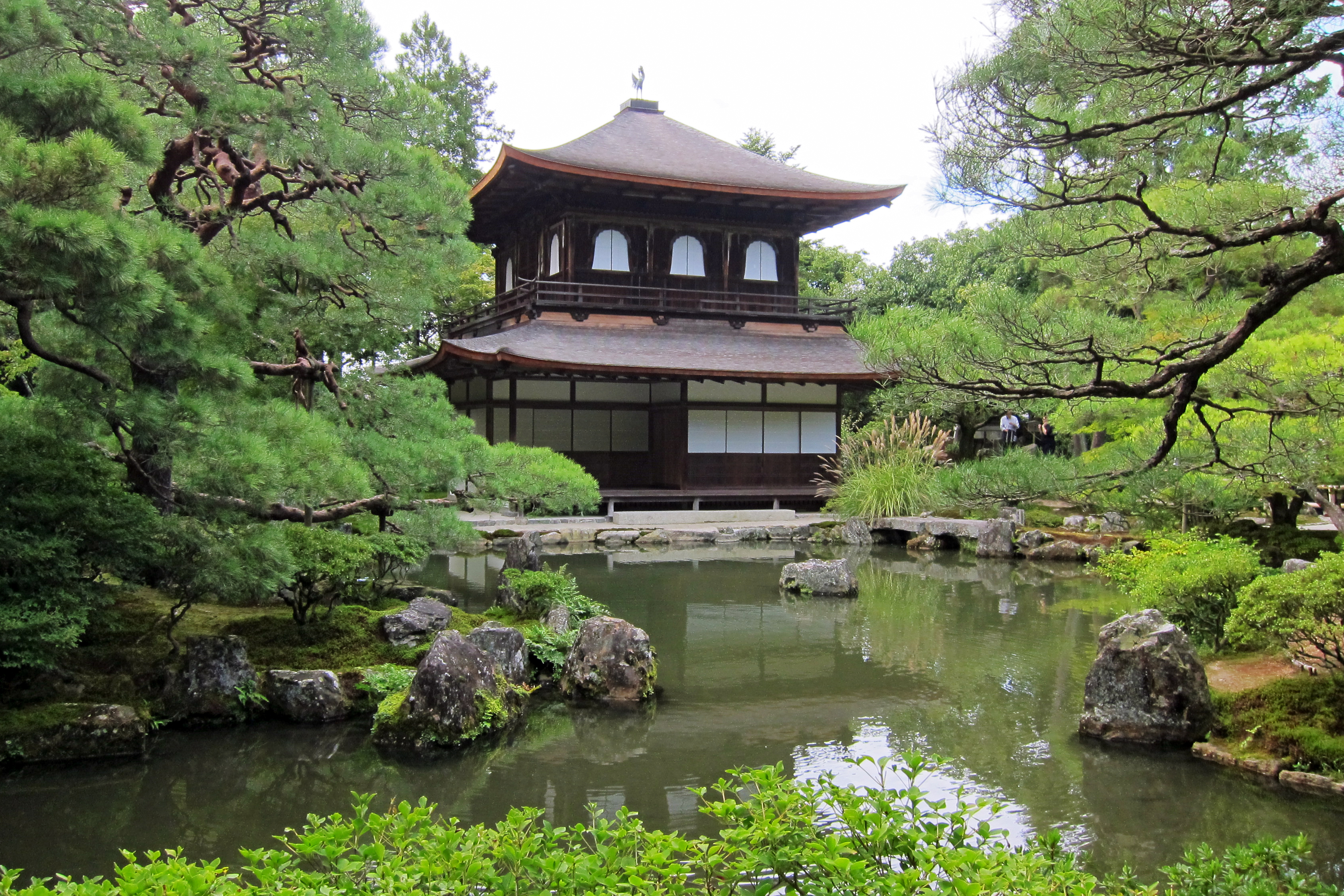
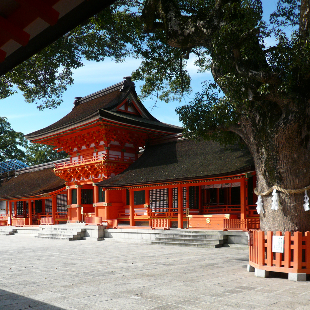
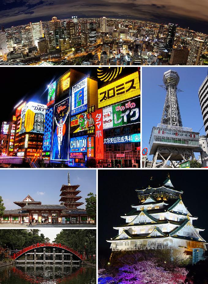
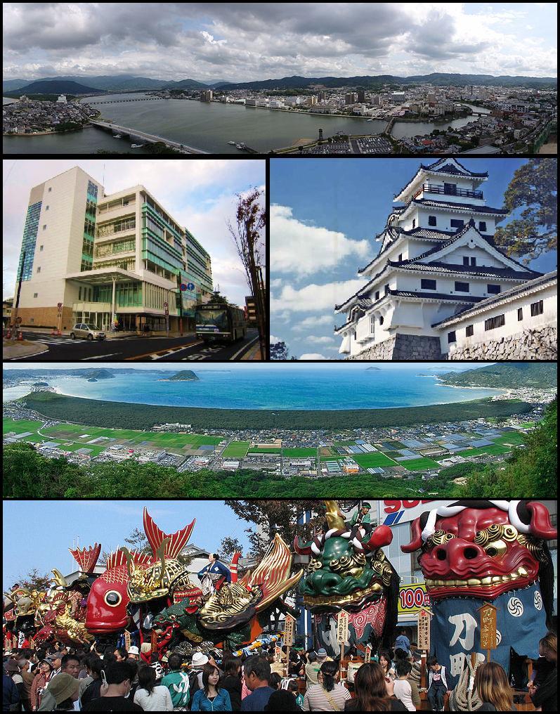
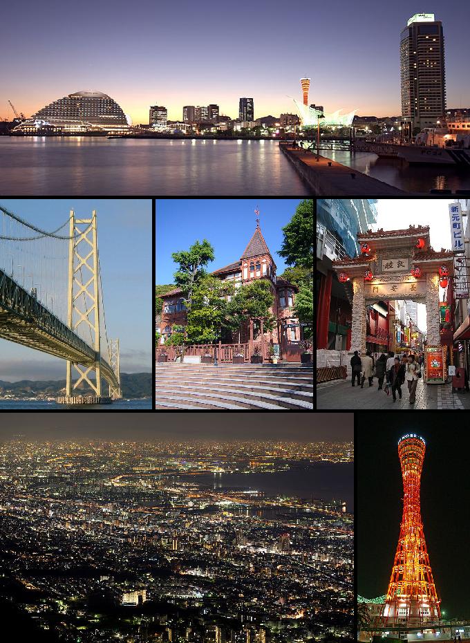
Some of the attractions we imported from Wikipedia are not perfect. Send us an email detailing what's wrong and we'll look into fixing it.

GuRoute is all about Gurus sharing their local knowledge. If you feel up to fixing this problem yourself, why not adopt it. You will become the owner and can fix whatever problems you see.

We've copied a link to this attraction into your clipboard so that ou can paste it into an email or text message...

More Info...
You can add your friends to the visit yourself, or, send them a link and let them add themselves...

The visit will appear on both your timelines and on your Shared Timeline.

Click below and we'll email you a link that you can send on to friends or post on your group's Facebook page.

If your friends aren't members of GuRoute yet, this is a great way to get them started.
Recent
Recently used Collections will appear here...
Recent
Recently used tours will appear here...

Where is this?

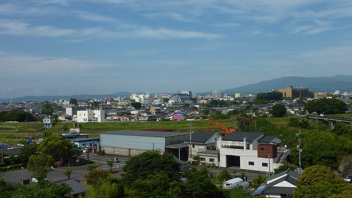
GuRoute likes to place attractions inside other attractions. So, maybe it's in a city, or maybe it's inside a particular park in that city. Maybe your attraction is a huge park that spans half the county, or multiple counties.

Determining where this attraction is gives it context - if it's in a park, you'll be able to see it alongside all the other attractions in that park. And that helps define the park.

GuRoute will automatically calculate a parent region for this attraction. You can change it if there is something more appropriate.

This attraction is currently located in .

Change

This attraction does not yet have any reviews

Please login to write a review...

Reviewed by
Record new Visit

Add this location to your timneline?

  • If there's an existing attraction open it and add it to your timeline...
  • If not, enter a title and we'll create a new attraction for your memories...
Create new Attraction

Create a new attraction at this location?

  • We rely on Gurus like you to share your local knowledge...
(Give a name for this location)


+
Add this to your timeline instead...

Imagine having a record of all the cool things you've done in your life!


Using our timeline you can keep track of everywhere you visit in your lifetime...

But, you'll need to sign in first...

Add contacts so that you can share your travels and record places that you visit together...

Family
Favorites
Family
Favorites

Profile TimeLine Our Visits Edit Accept Decline Invite

If you have any more friends that visited this place with you, feel free to add them to the visit. We'll write it to their timeline and once they confirm it, they too will have this memory for a lifetime.

If they're not already registered, you just need their name and email address and you can add them and we'll send them an invite on your behlaf.

Add a tour comment

Add some extra information for when this attraction is viewed as part of your tour...

Next Stop Instructions

Add some instructions for what to see/do on the way to the next stop...

Next Stop Instructions

Add some instructions for what to see/do on the way to the next stop...

If you're visiting an existing attraction, open it and add it to your timeline. If there is no attraction for the place you are visiting...

  • Click 'Add My Location' below
  • Or right-click on the map to mark a different location
  • Or long-press if you have a touch screen
You can even add locations while you're offline....
  • Load up the map when you're online and we'll keep track of your locaiton
  • You can add locations to your timeline
  • When you are online again we'll sync them with the cloud

We can't connect to the internet right now. The following attractions are saved locally and can be uploaded when you're online...

GuRoute would like to access your current location so that we can pin you on the map and show you nearby attractions

Add friends so that you can share your experiences with each other...

Add tour to What's Next?

Go...

Either for yourself or someone else...

  1. Do your trip research in GuRoute
    Add all the places that you think might be worthy of a visit into a trip-plan
  2. Add your trip-plan to your "What's Next" timeline
    (or a friend's "What's Next" timeline)
  3. When you're on vacation you'll have all your research at your fingertips
  4. Share your timline with your friends
    They can enjoy your vacation with you, seeing not only where you've been, but where you're going next...
  5. Add/remove attractions if things change

It also makes a great souvenir of your trip

Collections

Go...

Create a home page for a collection of attractions

  • Add an image and description to display on the homepage
  • Start adding content
    Add existing attractions to your collection or create new attractions of your own
  • Collections can be:
    • Public (Anyone can add attractions to your collection)
    • Shared (Only yourself and Gurus you nominate can add content)
    • Private (The collection will only be visible to yourself)

Uses

  • Local business or hotel
    Showcase local attractions that you endorse
  • Clubs
    Showcase attractions that members have created (eg. local historical society)
  • Special Interest
    If GuRoute does not have a category for your special interest you add your attractions to your own collection instead

Examples

Walking/Driving Tours

Go...

A guided tour where GuRoute will direct you from stop to stop and narrate a description of each attraction you arrive at

  • GuRoute uses your phone's GPS to guide you from stop to stop
  • GuRoute automatically detects when you arrive at the next tour-stop and narrates the description of the attraction (Chrome Only)
  • It then sends you on to the next stop

Tours are great to attract people to your town. Even places with no significant points of interest can be lots of fun when part of a tour


Cater tours to your Audience

  • Kid-friendly Tours
    • Focus on what will keep kids interested
    • Instead of parents having to drag their kids around they'll be struggling to keep up
    • Let the kids navigate and they'll get more fun out of finding that historical plaque than they ever would from reading it
  • Accessible tours
  • Short and long tours of the same location

What you need to do...

  1. Click 'Go...'
    Enter a title, description and location for the tour
  2. Add existing attractions OR create new ones and add them to the tour
  3. For existing attractions you can add more information specific to the theme of the tour
  4. You can also add instructions on what to do or see en-route to the next tour-stop
  5. Try out your tour and see how it works...

Mystery Tour

Go...

Create a Mystery Tour

Create a series of clues to show people around a city, neighborhood or whatever place you like...

  • GuRoute will show people clues to get them from attraction to attraction
  • When they reach each stop GuRoute will tell them about the place and give them the next clue
  • Take as long or as you like and explore each location at your leisure

Scavenger Hunt

Go...

Create a Scavenger Hunt

Create a series of questions that people have to answer. The answers can all be discovered by walking aroung the area, looking for clues.

  • How many beers are on tap at Michael Collin's Irish Bar?
  • What's the name of the oldest building on main streeet?
  • Show a picture of some public art and ask them what it is called
  • Clues can have numeric or multiple choice answers