Miguel Hidalgo
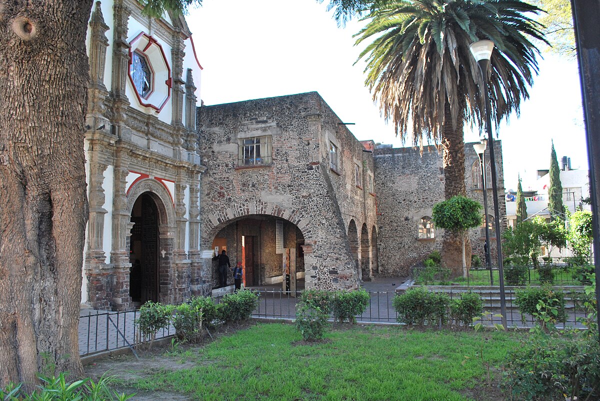
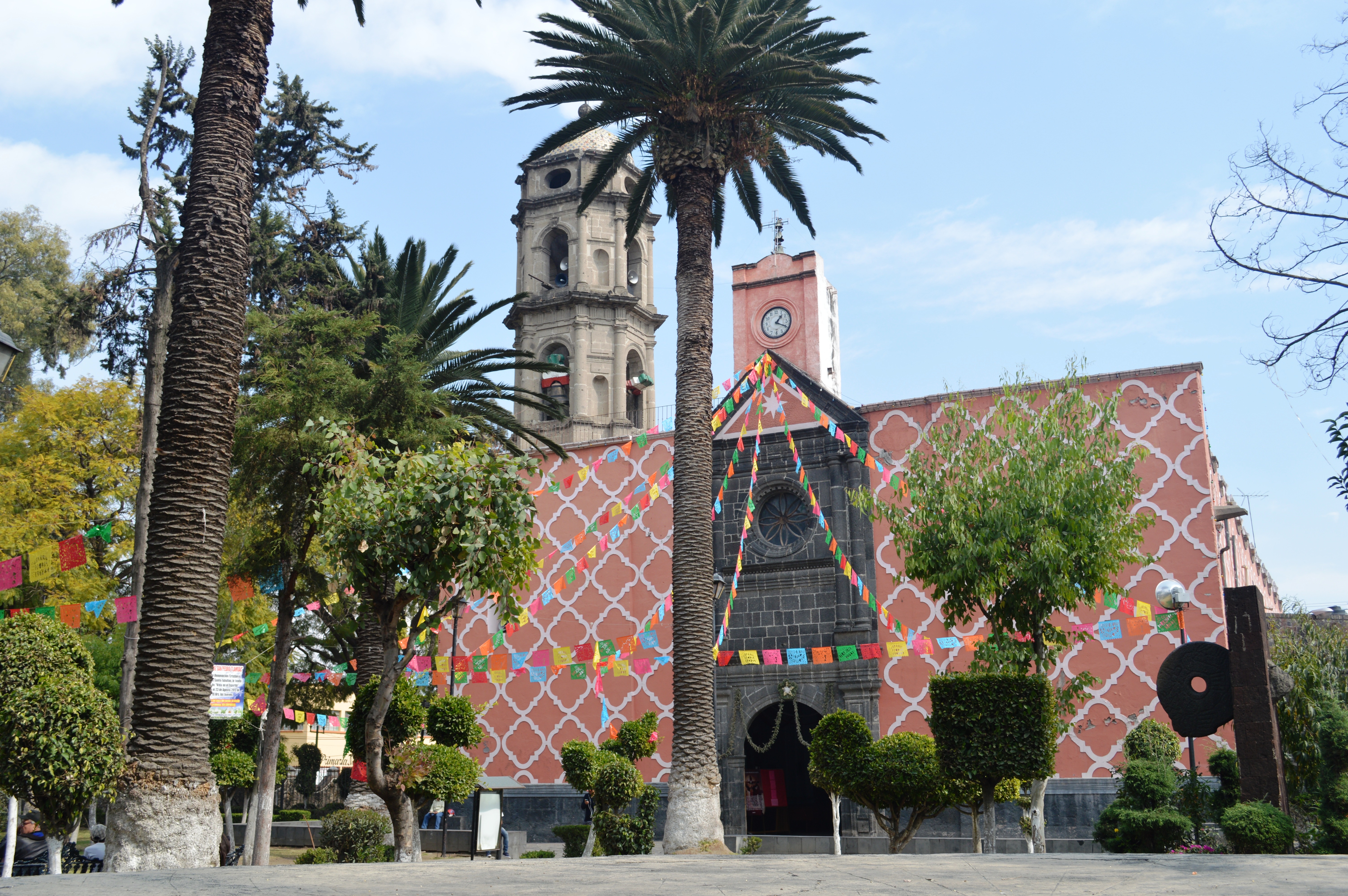
Miguel Hidalgo is one of the 16 delegaciones into which Federal District of Mexico City is divided. It was created in 1970, joining the historic areas of Tacuba, Chapultepec and Tacubaya along with a number of notable neighborhoods such as Polanco and Lomas de Chapultepec. With landmarks such as Chapultepec Park and the Museo Nacional de Antropología, it is the second most visited borough in Mexico City after Cuauhtémoc, D.F. where the historic center of Mexico City is located. Tacubaya and Tacuba both have long histories as independent settlements and were designated as “Barrios Mágicos” by the city for tourism purposes.
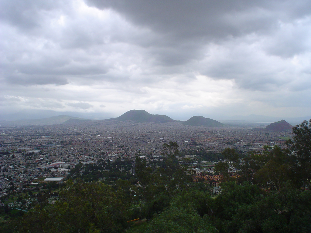
The borough is located in the northwest Federal District of Mexico City, just west of the historic center. The borough is divided into eighty one neighborhoods called colonias. The largest of these is Bosques de las Lomas at 3.2km2, and the smallest is Popo Ampliación with only .33km2. It is bordered by the boroughs of Azcapotzalco, Cuauhtémoc, Benito Juárez, Álvaro Obregón and Cuajimalpa with the State of Mexico bordering it on the west side. It has a territory of 47.68km2 which is 3.17 percent of the total Federal District.
The borough consists of an area which used to the west bank of Lake Texcoco, with three major zones, Tacuba, Chapultepec and Tacubaya. The geography of the borough includes canyons, hills and mesas associated with the Sierra de las Cruces, most present in the southwest bordering Cuajimalpa. In the northeast, mostly defined by the Circuit Interior road, is the most important elevation, the Cerro de Chapultepec at 2,260masl. The area today is almost completely developed with green spaces mostly limited to parks. The largest green space is Chapultepec Park at 2.2 km2. Parque Lineal was the former rail line of the Ferrocarril de Cuernavaca. The strip was converted into a park in 2011. Where the park crosses Lago Constanza Street in Colonia Anáhuac, there are often cultural events held. One of the newest parks in the borough is located on Lago Caneguin in Colonia Argentina, created over a former roadway called Ruta 100. The unnamed park has 10,000 meters of surface area, kiosk, gymnasium, bicycle path, multipurpose room, parking, rain water containment system and child care center. It serves about 40,000 area residents. In 2008, reforestation efforts were undertaken, beginning at the Cañitas Park. While there were important rivers here such as Remedios, today there are no longer any free flowing currents of water. The climate is semi moist and temperate with annual rainfall varying between 700 and 800mm. The average annual temperature is 15C with lows in the winter about 8C and highs around 19C.
Certain areas of the borough have problems with the stability of the ground due to old abandoned underground mines. These areas include the América, Daniel Garza, 16 de Septiembre, Daniel Garza Apliación and Observatorio neighborhoods, which are particularly affected, but the problem also is found in El Capulín, Monte Sol and Ex Hacienda de Pedregal. The number of people living in these areas is estimated at over 25,000, and about 500 families living in very high risk areas. Abandoned mines have also been detected in Tacubaya, Lomas Altas, Bosque de las Lomas and even under Chapultepec Park.
As of 2005, the borough had 106,005 residences of which 25,308 were freestanding houses, 54,079 were apartments and the rests of other types. This total number grew to a total of 123,910. About eighty percent of homes are owned by their residents and not rented. Around 95% have basic services such as electricity and running water. While the borough contains mostly working class areas in and around Tacuba and Tacubaya, the southwest contains some of the most exclusive colonias of the borough. While most of the borough is residential, the population of the borough has dropped from 650,497 in 1960 to 372,889 in 2010. It is now the twelfth most densely occupied borough of sixteen. Just over eighty eight percent identify themselves as Catholic.
The borough has 112 preschools, 160 primary schools, 79 middle schools, seven vocational/technical high schools and 49 high schools. The borough has an educational program called “Faros del Saber” (Lighthouses of Knowledge), which began in 2001. There are nine installations related to the program: each dedicated to a different field, such as ecology and science and technology, and each designed to promote these fields to the youth of the borough through workshops and various events. The main library of the program is part of CONACULTA and is designed to promote reading. The borough also offers classes to youth and adults in basic computer technology.
Main thoroughfares include Paseo de la Reforma, Calzada México Tacuba, the Anillo Periférico, Avenida V Palmas and Avenida Constituyentes. Numerous bus and Metro lines pass through here, with the major transportation hub centered in Metro Tacubaya, where Lines 1, 7 and 9 converge. The borough is also home to the Observatorio bus station, which mostly serves buses heading west to Toluca and other destinations.
The working population is 45.4% of the total. Overall socioeconomic marginalization of the borough is ranked very low. The borough is the second most visited by tourists in Mexico City according to the Secretary of Tourism of the Federal District, receiving just under 13% of total visitors in 2006. The borough has nineteen major hotels, and five of the six best hotels in the city. Its major, upscale restaurants and entertainment centers are located in Polanco and Lomas de Chapultepec. Five star hotels include the Presidente Intercontinental, the Marriott and Niko, all located on Paseo de la Reforma next to Chapultepec Park. Commercial centers include eighteen traditional markets, the upscale shopping corridor along Avenida Presidente Masarik in Polanco and various malls.
Bases for unlicensed taxis and areas crowded with unregulated street vendors is a major problem, especially around Christmas time. Most street-vending occurs in the Tacuba, Tacubaya, Chapultepec, Argentinas, Lomas and Polanco neighborhoods. A number of stationary public markets have problems with abandoned stalls. This is occurs in the Tacuba, Anáhuac Anexo, Anáhuac Zone and El Chorrito markets. The main reason that these markets struggle is competition from supermarkets, but the deterioration of the buildings is another factor.
The borough is named after Miguel Hidalgo y Costilla, who began the Mexican War of Independence . The borough was created by fusing various former municipalities such as Tacuba, Tacubaya and the Chapultepec Park area along with the neighborhoods such as Polanco, Lomas de Chapultepec, Bosques de las Lomas, Popotla, Las Pensil, La Argentina, America, Santa Julia and Observatorio. The center of the borough is considered to be Chapultepec Park.
Until the 20th century, Tacuba, Chapultepec and Tacubaya had separate histories, all part of the Federal District of Mexico City during most of this entity’s existence under various arrangements. In 1899, the Federal District was divided into the municipality of Mexico and six prefectures, one of which was Tacubaya. This arrangement was reconfirmed in 1917. In 1928, the Federal District was reorganized as a department under the direct control of the federal government. The territory was reorganized into Mexico City proper and thirteen boroughs: Guadalupe-Hidalgo, Azcapotzalco, Iztacalco, General Anaya, Coyoacán, San Ángel, La Magdalena Contreras, Cuajimalpa, Tlalpan, Iztapalapa, Xochimilco, Milpa Alta and Tláhuac. The city proper was divided into twelve districts. What is now Miguel Hidalgo, was part of Mexico City proper. In 1970, the city area was subdivided into four parts, Cuauhtémoc, Venustiano Carranza, Benito Juárez and Miguel Hidalgo.
The various political arrangements to the present day have been a result of the growth of Mexico City proper. Tacuba, Chapultepec and Tacubaya in the pre Hispanic period were located on the western shore of Lake Texcoco, just west of the island where the Aztecs established Tenochtitlan. After the Spanish conquest of the Aztec Empire, the Spanish established their capital in Tenochtitlan, renaming it Mexico City. Constant flooding problems, almost forced the Spanish to move the capital to Tacubaya in the early 17th century; however, it was decided to drain and fill in the lake instead. This effort would extend over the colonial period and well after Independence. Drainage of the lake would create land on which Mexico City grew.
At the beginning of the 20th century, the very edge of Mexico City has reached the villages of Tacuba and Tacubaya. During the first third of this century, the country estates, farmland and ranches between Tacuba, Tacubaya and Mexico City proper were turned into subdivisions for housing, with roads and other paved areas taking over empty fields. From the 1930s, population growth and development increased with the establishment of industrial and commercial areas. In the 1940s, the Polanco area between Chapultepec and Santa Julia was developed. Various public and private enterprises were installed along the avenues of Ejército Nacional and Marina Nacional. The Secretary of Defense made its home at Lomas de Sotelo. On the far west of the borough large cemeteries such as Panteón Francés, General Sancturum, Panteón Inglés and Panteón Español were opened. One reason for the westward expansion was that wealthy families were abandoning the historic center of Mexico City for newer areas. This began with areas such as Colonia Roma and Condesa, but later they would move to Polanco. This movement west still continues into the Lomas area.