Sign In

My Timeline

GuRoute

Discover Your World

Share your Experiences

Record your Life


Top Attractions in Equatorial Guinea

Malabo

Malabo is the capital of Equatorial Guinea and the province of Bioko Norte. It is located on the north coast of the island of Bioko, formerly known as Bubis, by its autochthonous inhabitants, as Etulá and as Fernando Poo by the Europeans. The city has a population of approximately 187,302 inhabitants. The official languages of the city, as well as across the country, are Spanish (main language and practically the only one used), French and Portuguese. Malabo is the oldest city in Equatorial Guinea. Many buildings within the city are built in the style of colonial architecture from the times of Spanish rule, coexisting with modern buildings built since independence. The downtown streets, with a square design, reveal the ancient conception of modern city with pedestrian areas at all. The city also offers numerous green areas and leisure. This phenomenon causes a feeling of architecture attenuated by the low height of buildings in a combination of architectural Westernization and Africanism. Oyala is a planned city currently under construction, designed to replace Malabo as the capital. In 1472, in an attempt to find a new route to the India, the Portuguese navigator Fernão do Pó, discovered the island of Bioko, which He called "Fermosa". Later the island was named after its discoverer, Fernando Poo. At the beginning of 16th century, specifically in 1507, the Portuguese Ramos de Esquivel made a first attempt at colonization on the island of Fernando Poo. He established a factory in Concepción (current Riaba) and developed plantations of sugarcane, but the hostility of the insular Bubi people and diseases ended this experience quickly. With the treaties of San Ildefonso in 1777 and El Pardo in 1778, during the reign of the Spanish King Carlos III the Portuguese gave to the Spanish island of Fernando Poo, Annobón and the right to conduct trade in the mainland, an area of influence approximately of 800 000 km² in Africa, in exchange for the Colonia del Sacramento in the River Plate and the Santa Catalina Island off the Brazilian coast (occupied by the Spaniards). The area stretching from the Niger Delta to the mouth of Ogüé River -in the current Gabon- and included, besides the islands of Fernando Poo and Annobon, the islets of Corisco and Elobeyes. Failed its various unsuccessful attempts to colonize these lands, Spain for its internal problems, lost interest in Spanish Guinea in 1827 and authorized the British use the island as a base for the work of persecution of the Slave Trade. In 1821, the British captain Nelly approached the island of Fernando Poo. He found it abandoned and founded the establishments of Melville Bay (Riaba) and San Carlos (Luba). Some years later, another British captain, William Fitzwilliam Owen decided to colonize the island and set in the north of it -in the site of the present capital- a base for British ships chasing European dealers of slaves. Thus arises, the 25 December 1827 Port Clarence on the ruins of a previous Portuguese settlement. The name was chosen in honor of the Duke of Clarence, who later became King William IV. The Bubis indigenous to the island called it "Ripotó (place of the foreigners). The population of the capital was increased by the arrival of slaves freed by the British. The settlement of the freedmen in Port Clarence preceded the formation of Sierra Leone as a colony for freed slaves. The descendants of these people enslaved and freed remain on the island. At they joined other migrants arrived as free workers from Liberia, Sierra Leone, Ghana, Ivory Coast, Benin, Nigeria and Cameroon, constituting the population group called Creole or fernandinos, and whose own language the Pidgin Bantu-English with Spanish elements. During the period of the British presence, British consuls automatically became governors of the colony. Including Governor John Beecroft, a British mulatto sailor who modernized the capital, whose work was recognized later by Spain erecting a monument which is located in Punta Fernanda. In 1844, when Queen Elizabeth II ruled after the regency of her mother Maria Cristina and Baldomero Espartero, in an attempt to modernize Spain and rescuing its heritage, Spain let him know the UK its desire to be of regain control of the colony and thus the island. It took another decade to implement this direct control. The capital already had more dynamic and Protestant religious missions were very successful. Both factors helped to change the attitude of Spain, in addition to internal reasons already alluded. Spain again took control of the island in 1855 and the capital Port Clarence was renamed Santa Isabel, in honor of the queen Isabel II of Spain. The capital of the island of Fernando Poo became the capital of Equatorial Guinea. Its present name was given in 1973 as part of the campaign of President Macías Nguema to replace the place names of European origin with African names properly, honoring Malabo Lopelo Melaka, the last Bubi king. Malabo, son of King Moka, surrendered to the Spaniards, while his uncle Sas Ebuera, head of the Bubi warriors, claimed the legitimacy of Bubi rule and continued resistance. After the murder of Sas Ebuera by the Spanish, Malabo became king unopposed, but without authority. Bubi clans and localities were slow to accept Spanish sovereignty over the island, and even 1912 was not achieved by conquest and pacification of the whole island. During the so-called Reign of Terror of Macías Nguema, the dictator suppressed much of the intelligentsia of the country, initiating the process of taking over the positions of the public administration by part of the natives of Mongomo and clan Esangui. Many city residents had to leave. In the last years of his mandate, almost a fifth of the population fled. At that time (1968-1979), Equatorial Guinea received monies from the Soviet Union in return for, inter alia, affording port facilities for Soviet naval craft, particularly submarines. Still today Malabo tries to heal its wounds from that period, while the successor as head of state, Teodoro Obiang Nguema with his Democratic Party of Equatorial Guinea, dictator from 1979 by a coup that overthrew Macías has not made improvements of any kind. The infamous Black Beach Prison also known as Blay Beach prison (or Playa Negra prison) sits at the mouth of the Cónsul River, beside the black beach and behind the Governor's Palace and barracks. Several people have been jailed in the over the 35 years of dictatorship. Among those imprisoned and tortured are many political leaders as Fabián Nsue (UP), Felipe Ondo Obiang (FDR), Martín Puye of Movement for the Self-Determination of Bioko Island (MAIB) or Plácido Micó of the Social Democratic Convergence for Social Democracy (CPDS). 
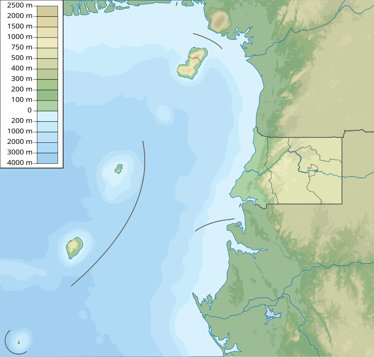
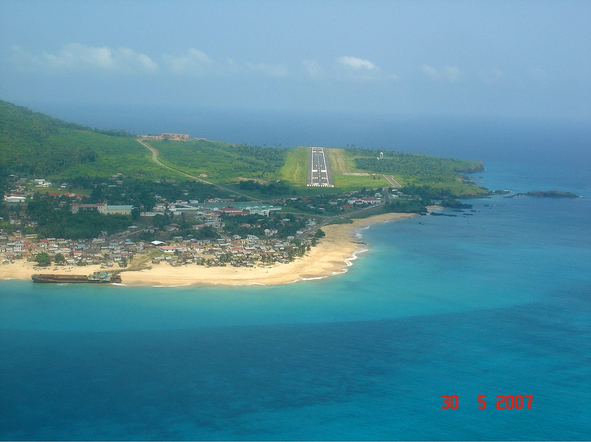
Malabo is situated north of the island of Bioko, at coordinates 3° 45' 7.43" North and 8° 46' 25.32" East. The south of Malabo is limited by the Cónsul River and just across the river, south-west, is the hospital. West of the city, located about 9 km from the center of Malabo, is renewed Malabo International Airport. In the coastal region north of the city are the bays and capes. The elder is the punta de la Unidad Africana located just behind the Presidential Palace and which occupies the entire eastern part of the Bay of Malabo. Another cape of importance is punta Europa located in the west of the city near to the airport. Malabo features a tropical monsoon climate. Malabo sees on average 1,800 mm of rain per year. The city has a pronounced, albeit short dry season from December through February. February is normally its driest with 33 mm (0.2 in) of rain falling on average. It also has a very lengthy wet season that covers the remaining nine months. On average, the months hit hardest by the wet season are from September to October, with 500 millimetres (20 in) of rain falling between them. Daytime temperatures do not vary at all day to day, and only vary a few degrees throughout the entire year. At night, the average low temperature is 21–22 degrees in every month of the year, apart from January when average low is 19 degrees). January has cooler nights and hotter days because it has clearer weather. Nonetheless, Malabo, with only 1,180 hours of sunshine per year, is one of the gloomiest capitals in the world and experiences much fog even when it is not raining.

Corisco

Corisco, or Mandj, is a small island of Equatorial Guinea, located 29 kilometres southwest of the Rio Muni estuary that defines the border with Gabon. Corisco, whose name derives from the Portuguese word for lightning, has an area of just 14 km2 , and its highest point is 35 metres above sea level. During the Iron Age and prior to the arrival of the Portuguese, the island was densely settled. The most important evidence of human occupation comes from the area of Nandá, near the eastern coast, where dozens of prehistoric burials have been excavated. These burials belong to two different periods: Early Iron Age and Middle Iron Age . During the first period, the islanders deposited bundles of human bones and iron implements (axes, bracelets, spears, spoons, iron currency) in shallow pits dug in the sand. During the second period, tombs have been documented where the corpses (not preserved) lied down surrounded by pots, probably containing food and alcoholic beverages. The deceased were interred with their adornments (collars, bracelets and anklets) and a few personal possessions (knives and adzes). After more than three centuries of abandonment, during which the island was sporadically visited by European sailors, Corisco was settled by the Benga people. They arrived during the second half of the 18th century attracted by the prospects of trade with the Europeans. The island was later acquired by Spain in 1843, as a result of an arrangement made by J. J. Lerena y Barry with Benga king Bonkoro I. Bonkoro I died in 1846 and was succeeded by his son Bonkoro II, but due to rivalries on the island, Bonkoro II moved to São Tomé, and Munga I ruled in Corisco 1848 to 1858, his son Munga II taking over, and meeting the explorer Manuel Iradier in the 1870s. In general the Spanish paid little attention to Corisco. In the early part of the 20th century it was part of the administration of Elobey, Annobon, and Corisco, and postage stamps were issued under that name. It became an integral part of Equatorial Guinea upon independence. Corisco and the surrounding waters of Corisco Bay have become of interest in recent years for their oil prospects. A consortium of Elf Aquitaine and Petrogab began prospecting in 1981. The area is disputed with Gabon because of the perceived value of the oil. In February 2003, Gabonese Defence Minister Ali-Ben Bongo Ondimba visited the islands and re-stated Gabon's claim to them.

This attraction is located in

This is a private property. Please enjoy respectfully and do not disturb the occupants.

Edit Categories
Add Tours

This attraction is not part of any tours

Add Collections

This attraction is not part of any collections


Some of the attractions we imported from Wikipedia are not perfect. Send us an email detailing what's wrong and we'll look into fixing it.

GuRoute is all about Gurus sharing their local knowledge. If you feel up to fixing this problem yourself, why not adopt it. You will become the owner and can fix whatever problems you see.

We've copied a link to this attraction into your clipboard so that ou can paste it into an email or text message...

More Info...
You can add your friends to the visit yourself, or, send them a link and let them add themselves...

The visit will appear on both your timelines and on your Shared Timeline.

Click below and we'll email you a link that you can send on to friends or post on your group's Facebook page.

If your friends aren't members of GuRoute yet, this is a great way to get them started.
Recent
Recently used Collections will appear here...
Recent
Recently used tours will appear here...

Where is this?

GuRoute likes to place attractions inside other attractions. So, maybe it's in a city, or maybe it's inside a particular park in that city. Maybe your attraction is a huge park that spans half the county, or multiple counties.

Determining where this attraction is gives it context - if it's in a park, you'll be able to see it alongside all the other attractions in that park. And that helps define the park.

GuRoute will automatically calculate a parent region for this attraction. You can change it if there is something more appropriate.

This attraction is currently located in .

Change

This attraction does not yet have any reviews

Please login to write a review...

Reviewed by
Record new Visit

Add this location to your timneline?

  • If there's an existing attraction open it and add it to your timeline...
  • If not, enter a title and we'll create a new attraction for your memories...
Create new Attraction

Create a new attraction at this location?

  • We rely on Gurus like you to share your local knowledge...
(Give a name for this location)


+
Add this to your timeline instead...

Imagine having a record of all the cool things you've done in your life!


Using our timeline you can keep track of everywhere you visit in your lifetime...

But, you'll need to sign in first...

Add contacts so that you can share your travels and record places that you visit together...

Family
Favorites
Family
Favorites

Profile TimeLine Our Visits Edit Accept Decline Invite

If you have any more friends that visited this place with you, feel free to add them to the visit. We'll write it to their timeline and once they confirm it, they too will have this memory for a lifetime.

If they're not already registered, you just need their name and email address and you can add them and we'll send them an invite on your behlaf.

Add a tour comment

Add some extra information for when this attraction is viewed as part of your tour...

Next Stop Instructions

Add some instructions for what to see/do on the way to the next stop...

Next Stop Instructions

Add some instructions for what to see/do on the way to the next stop...

If you're visiting an existing attraction, open it and add it to your timeline. If there is no attraction for the place you are visiting...

  • Click 'Add My Location' below
  • Or right-click on the map to mark a different location
  • Or long-press if you have a touch screen
You can even add locations while you're offline....
  • Load up the map when you're online and we'll keep track of your locaiton
  • You can add locations to your timeline
  • When you are online again we'll sync them with the cloud

We can't connect to the internet right now. The following attractions are saved locally and can be uploaded when you're online...

GuRoute would like to access your current location so that we can pin you on the map and show you nearby attractions

Add friends so that you can share your experiences with each other...

Add tour to What's Next?

Go...

Either for yourself or someone else...

  1. Do your trip research in GuRoute
    Add all the places that you think might be worthy of a visit into a trip-plan
  2. Add your trip-plan to your "What's Next" timeline
    (or a friend's "What's Next" timeline)
  3. When you're on vacation you'll have all your research at your fingertips
  4. Share your timline with your friends
    They can enjoy your vacation with you, seeing not only where you've been, but where you're going next...
  5. Add/remove attractions if things change

It also makes a great souvenir of your trip

Collections

Go...

Create a home page for a collection of attractions

  • Add an image and description to display on the homepage
  • Start adding content
    Add existing attractions to your collection or create new attractions of your own
  • Collections can be:
    • Public (Anyone can add attractions to your collection)
    • Shared (Only yourself and Gurus you nominate can add content)
    • Private (The collection will only be visible to yourself)

Uses

  • Local business or hotel
    Showcase local attractions that you endorse
  • Clubs
    Showcase attractions that members have created (eg. local historical society)
  • Special Interest
    If GuRoute does not have a category for your special interest you add your attractions to your own collection instead

Examples

Walking/Driving Tours

Go...

A guided tour where GuRoute will direct you from stop to stop and narrate a description of each attraction you arrive at

  • GuRoute uses your phone's GPS to guide you from stop to stop
  • GuRoute automatically detects when you arrive at the next tour-stop and narrates the description of the attraction (Chrome Only)
  • It then sends you on to the next stop

Tours are great to attract people to your town. Even places with no significant points of interest can be lots of fun when part of a tour


Cater tours to your Audience

  • Kid-friendly Tours
    • Focus on what will keep kids interested
    • Instead of parents having to drag their kids around they'll be struggling to keep up
    • Let the kids navigate and they'll get more fun out of finding that historical plaque than they ever would from reading it
  • Accessible tours
  • Short and long tours of the same location

What you need to do...

  1. Click 'Go...'
    Enter a title, description and location for the tour
  2. Add existing attractions OR create new ones and add them to the tour
  3. For existing attractions you can add more information specific to the theme of the tour
  4. You can also add instructions on what to do or see en-route to the next tour-stop
  5. Try out your tour and see how it works...

Mystery Tour

Go...

Create a Mystery Tour

Create a series of clues to show people around a city, neighborhood or whatever place you like...

  • GuRoute will show people clues to get them from attraction to attraction
  • When they reach each stop GuRoute will tell them about the place and give them the next clue
  • Take as long or as you like and explore each location at your leisure

Scavenger Hunt

Go...

Create a Scavenger Hunt

Create a series of questions that people have to answer. The answers can all be discovered by walking aroung the area, looking for clues.

  • How many beers are on tap at Michael Collin's Irish Bar?
  • What's the name of the oldest building on main streeet?
  • Show a picture of some public art and ask them what it is called
  • Clues can have numeric or multiple choice answers